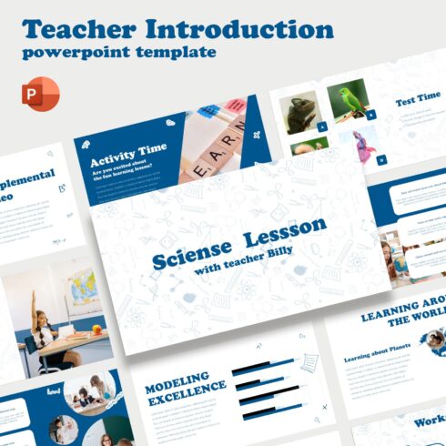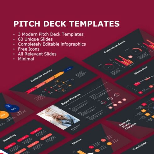
Modern Pitch Deck Design Templates
$30
| Created by | Abert84 |
|---|---|
| File type | PPTX |
| Date of Creation | November 3 2022 |
| Rating | 5 (10) |
| Category |
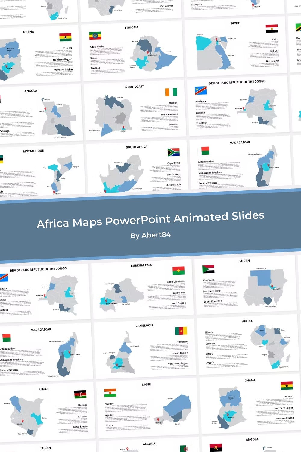
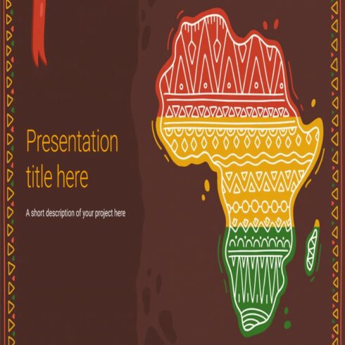
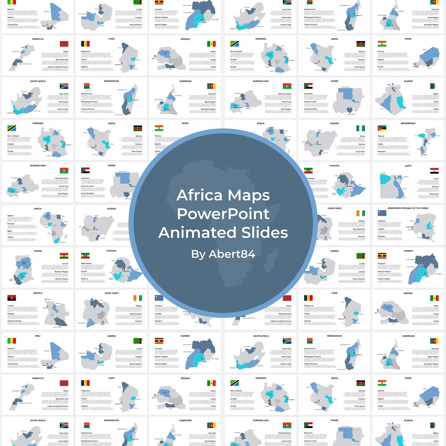
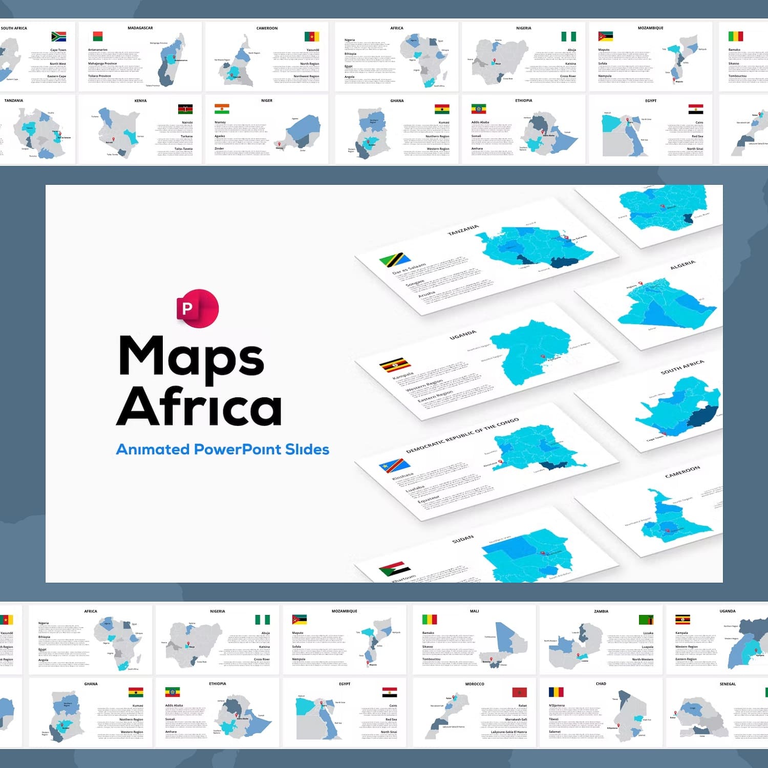
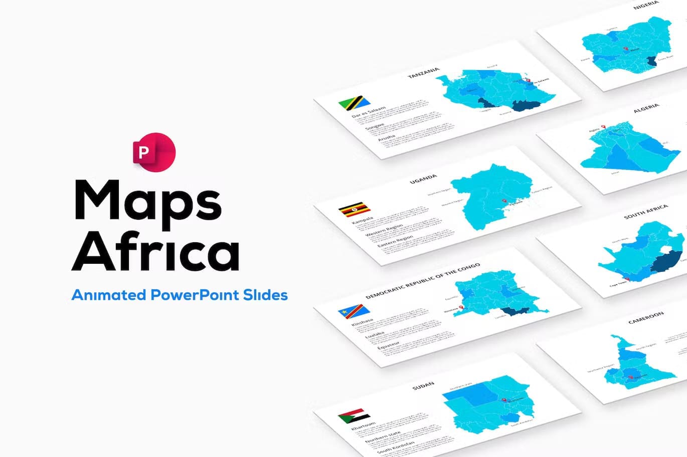
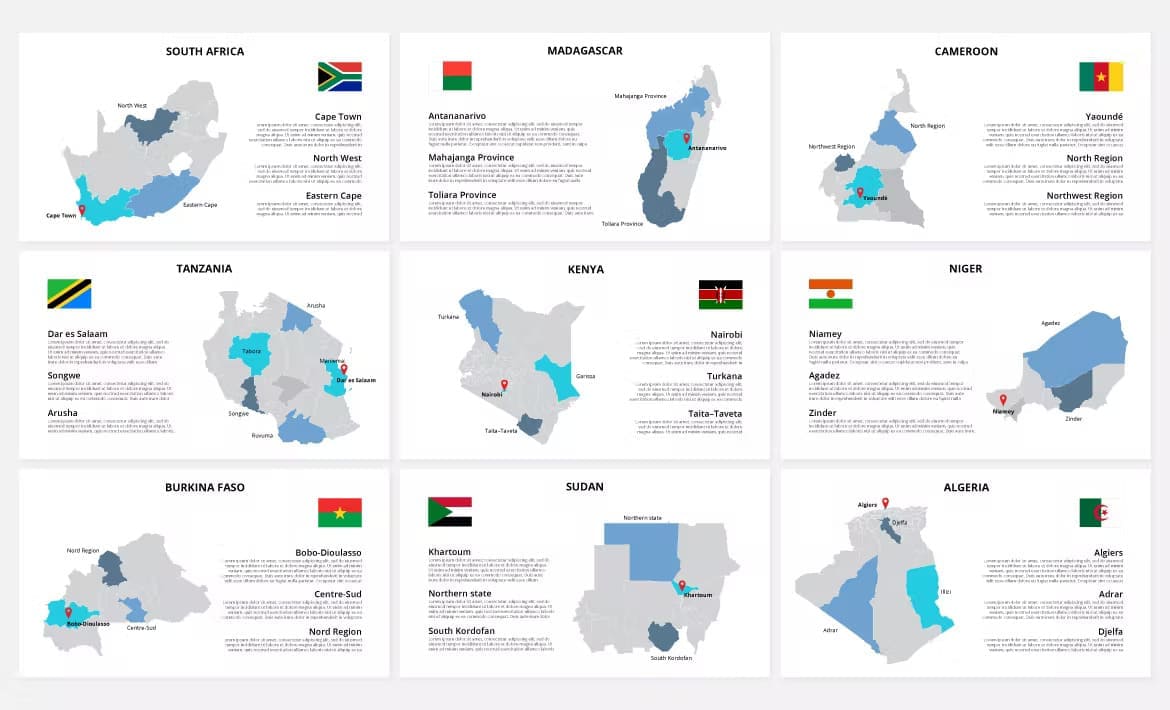
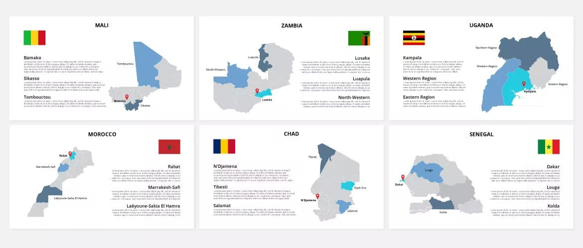
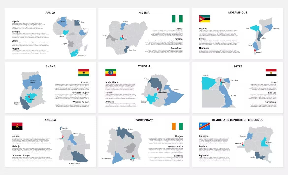
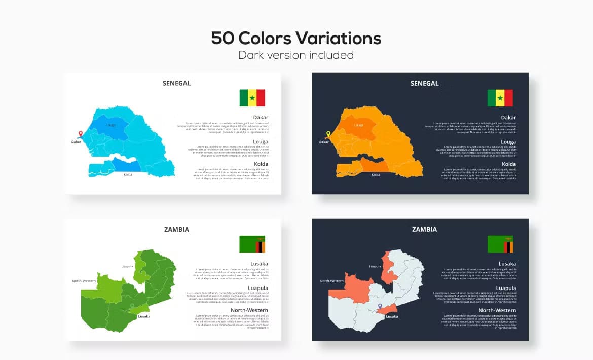
This set contains high-quality Africa animated slides. Each country is divided into states (regions, provinces, etc.). Also contains flags.
Algeria, Angola, Burkina Faso, Cameroon, Chad, Dem_Rep_Congo, Egypt, Ethiopia, Ghana, Ivory Coast, Kenya, Madagascar, Mali, Morocco, Mozambique, Niger, Nigeria, Senegal, South Africa, Sudan, Tanzania, Uganda, Zambia.
Included:
Fonts: